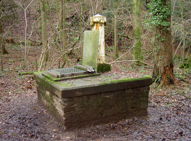
Combe culvert
Introduction
The photograph on this page of Combe culvert by Neil Owen as part of the Geograph project.
The Geograph project started in 2005 with the aim of publishing, organising and preserving representative images for every square kilometre of Great Britain, Ireland and the Isle of Man.
There are currently over 7.5m images from over 14,400 individuals and you can help contribute to the project by visiting https://www.geograph.org.uk

Image: © Neil Owen Taken: 10 Feb 2014
The slopes of the Mendips have plenty of springs that flow down towards the Chew Valley. One of them used to run through the eastern side of Harptree Combe, but is now well below ground level, thanks to the culverting. See Image] for a look down the shaft.

