Northern side of Mill Farm and Millers Croft, Malvern
Introduction
The photograph on this page of Northern side of Mill Farm and Millers Croft, Malvern by Jaggery as part of the Geograph project.
The Geograph project started in 2005 with the aim of publishing, organising and preserving representative images for every square kilometre of Great Britain, Ireland and the Isle of Man.

There are currently over 7.5m images from over 14,400 individuals and you can help contribute to the project by visiting https://www.geograph.org.uk
Northern side of Mill Farm and Millers Croft, Malvern
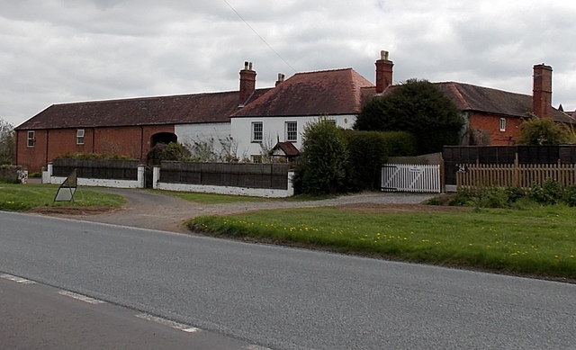
Image: © Jaggery Taken: 5 May 2013
Former farm and buildings on the south side of Guarlford Road, converted to residential use.
Images are licensed for reuse under creativecommons.org/licenses/by-sa/2.0
Image Location
Latitude
52.106277
Longitude
-2.300437