Reigate Road
Introduction
The photograph on this page of Reigate Road by Ian Capper as part of the Geograph project.
The Geograph project started in 2005 with the aim of publishing, organising and preserving representative images for every square kilometre of Great Britain, Ireland and the Isle of Man.

There are currently over 7.5m images from over 14,400 individuals and you can help contribute to the project by visiting https://www.geograph.org.uk
Reigate Road
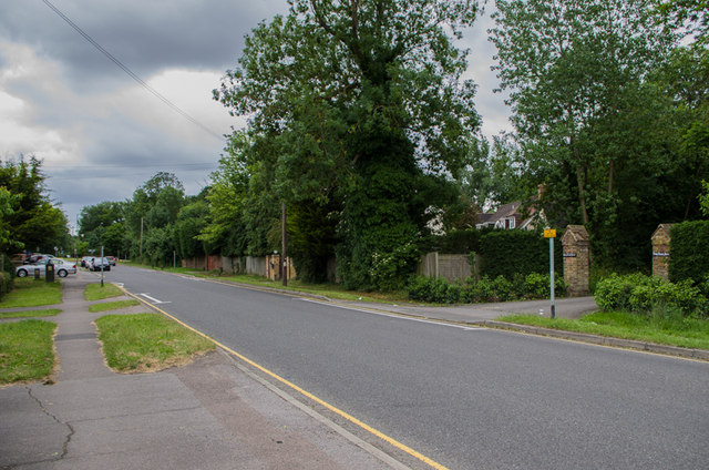
Image: © Ian Capper Taken: 23 Jun 2013
The route of the original Brighton Turnpike (subsequently the A217), which met the 1816 direct route from Gatton Point, north of Redhill (subsequently the A23) at Povey Cross (see Image). The road lost its importance following the development of Gatwick Airport in the 1950s, with the Brighton Road being diverted to skirt round the east of the airport, the present route of the A23, and the A217 being diverted from Hookwood, to the north of here, to link up with the A23 at the Longbridge Roundabout. On the right of the photo is the gateway to Povey Cross House (see Image).
Images are licensed for reuse under creativecommons.org/licenses/by-sa/2.0
Image Location
Latitude
51.165383
Longitude
-0.186977