Cwm Sgiach
Introduction
The photograph on this page of Cwm Sgiach by Alan Richards as part of the Geograph project.
The Geograph project started in 2005 with the aim of publishing, organising and preserving representative images for every square kilometre of Great Britain, Ireland and the Isle of Man.

There are currently over 7.5m images from over 14,400 individuals and you can help contribute to the project by visiting https://www.geograph.org.uk
Cwm Sgiach
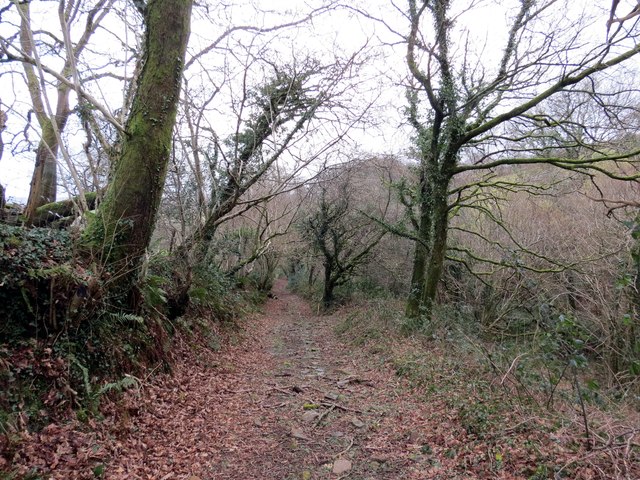
Image: © Alan Richards Taken: 11 Feb 2014
Hen heol yng Nghwm Sgiach yn mynd i lawr y waered o gyfeiriad y mynydd at Dyn y Cwm. Mae'r heol bellach wedi ei hisraddio i lwybr cyhoeddus. An old road in Cwm Sgiach (trans. hawthorn [stream] valley) descending from the mountain towards Tyn y Cwm (trans. valley homestead). The road has recently been downgraded to a footpath.
Images are licensed for reuse under creativecommons.org/licenses/by-sa/2.0
Image Location
Latitude
51.712624
Longitude
-3.985533