The Black Horse
Introduction
The photograph on this page of The Black Horse by Martin Addison as part of the Geograph project.
The Geograph project started in 2005 with the aim of publishing, organising and preserving representative images for every square kilometre of Great Britain, Ireland and the Isle of Man.

There are currently over 7.5m images from over 14,400 individuals and you can help contribute to the project by visiting https://www.geograph.org.uk
The Black Horse
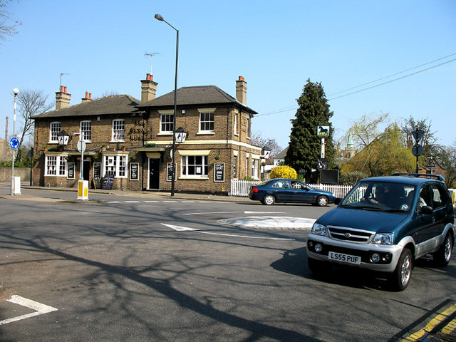
Image: © Martin Addison Taken: 1 Apr 2007
The public house sits on Union Street at the junction with Wood Street. This is a very busy mini-roundabout with through traffic along Wood Street merging with traffic from the carparks behind Barnet High Street.
Images are licensed for reuse under creativecommons.org/licenses/by-sa/2.0
Image Location
Latitude
51.653046
Longitude
-0.2065