St Paul's Parish Church, Swansea
Introduction
The photograph on this page of St Paul's Parish Church, Swansea by Jaggery as part of the Geograph project.
The Geograph project started in 2005 with the aim of publishing, organising and preserving representative images for every square kilometre of Great Britain, Ireland and the Isle of Man.

There are currently over 7.5m images from over 14,400 individuals and you can help contribute to the project by visiting https://www.geograph.org.uk
St Paul's Parish Church, Swansea
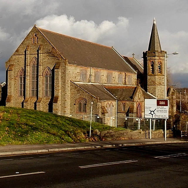
Image: © Jaggery Taken: 6 Dec 2013
Viewed across Cwm Level Road. The church was built in 1903, Grade II listed in 1987. At the early December 2013 date of this view, there was no name sign here and the church was fenced off...
Images are licensed for reuse under creativecommons.org/licenses/by-sa/2.0
Image Location


Leaflet Map data © OpenStreetMap
Latitude
51.646452
Longitude
-3.936386