Underneath the railway bridge at East Stour Farm
Introduction
The photograph on this page of Underneath the railway bridge at East Stour Farm by Marathon as part of the Geograph project.
The Geograph project started in 2005 with the aim of publishing, organising and preserving representative images for every square kilometre of Great Britain, Ireland and the Isle of Man.

There are currently over 7.5m images from over 14,400 individuals and you can help contribute to the project by visiting https://www.geograph.org.uk
Underneath the railway bridge at East Stour Farm
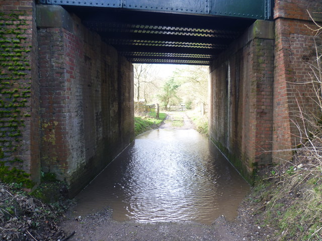
Image: © Marathon Taken: 9 Feb 2014
A footpath leaves the A28 to pass through East Stour Farm here and under the railway line of 1846. The stations on either side are Wye and Chilham. Just behind, the path meets the Stour Valley Walk. This is the view looking back to the farm and to the A28. Wellington boots were very necessary here in contrast to six months earlier at the end of a long hot summer - http://www.geograph.org.uk/photo/3634060
Images are licensed for reuse under creativecommons.org/licenses/by-sa/2.0
Image Location
Latitude
51.229589
Longitude
0.972347