Southwards down the Bluestone Heath Road: aerial 2014
Introduction
The photograph on this page of Southwards down the Bluestone Heath Road: aerial 2014 by Chris as part of the Geograph project.
The Geograph project started in 2005 with the aim of publishing, organising and preserving representative images for every square kilometre of Great Britain, Ireland and the Isle of Man.

There are currently over 7.5m images from over 14,400 individuals and you can help contribute to the project by visiting https://www.geograph.org.uk
Southwards down the Bluestone Heath Road: aerial 2014
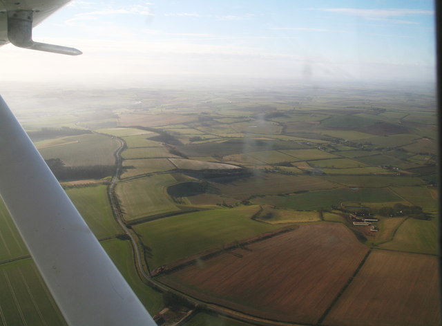
Image: © Chris Taken: 10 Feb 2014
The road runs along the escarpment of the Lincolnshire Wolds. Scamblesby Thorpe in the foreground; the dark-sided indent is The Lofts (cultivation terraces).
Images are licensed for reuse under creativecommons.org/licenses/by-sa/2.0
Image Location


Leaflet Map data © OpenStreetMap
Latitude
53.28974
Longitude
-0.059925