St Mary's Church, Wollaton
Introduction
The photograph on this page of St Mary's Church, Wollaton by Alan Murray-Rust as part of the Geograph project.
The Geograph project started in 2005 with the aim of publishing, organising and preserving representative images for every square kilometre of Great Britain, Ireland and the Isle of Man.

There are currently over 7.5m images from over 14,400 individuals and you can help contribute to the project by visiting https://www.geograph.org.uk
St Mary's Church, Wollaton
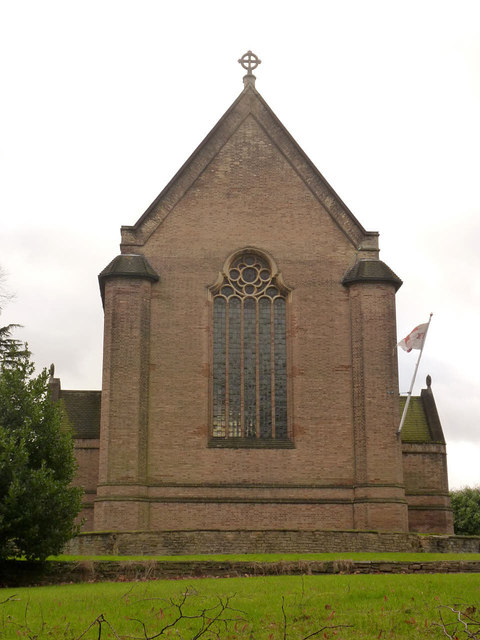
Image: © Alan Murray-Rust Taken: 9 Feb 2014
The east end seen from Wollaton Hall Drive. See http://www.geograph.org.uk/photo/3844259 for more information.
Images are licensed for reuse under creativecommons.org/licenses/by-sa/2.0
Image Location
Latitude
52.946949
Longitude
-1.186493