Towards Axe Edge End
Introduction
The photograph on this page of Towards Axe Edge End by Jonathan Clitheroe as part of the Geograph project.
The Geograph project started in 2005 with the aim of publishing, organising and preserving representative images for every square kilometre of Great Britain, Ireland and the Isle of Man.

There are currently over 7.5m images from over 14,400 individuals and you can help contribute to the project by visiting https://www.geograph.org.uk
Towards Axe Edge End
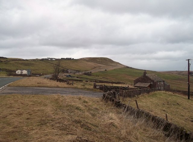
Image: © Jonathan Clitheroe Taken: 8 Feb 2014
The A53 Road passing to the right of Axe Edge before it begins its descent towards Buxton. The building in the foreground is New Cottage Farm.
Images are licensed for reuse under creativecommons.org/licenses/by-sa/2.0
Image Location
Latitude
53.210945
Longitude
-1.955489