Watery route to Ken's Place, Aberdare
Introduction
The photograph on this page of Watery route to Ken's Place, Aberdare by Jaggery as part of the Geograph project.
The Geograph project started in 2005 with the aim of publishing, organising and preserving representative images for every square kilometre of Great Britain, Ireland and the Isle of Man.

There are currently over 7.5m images from over 14,400 individuals and you can help contribute to the project by visiting https://www.geograph.org.uk
Watery route to Ken's Place, Aberdare
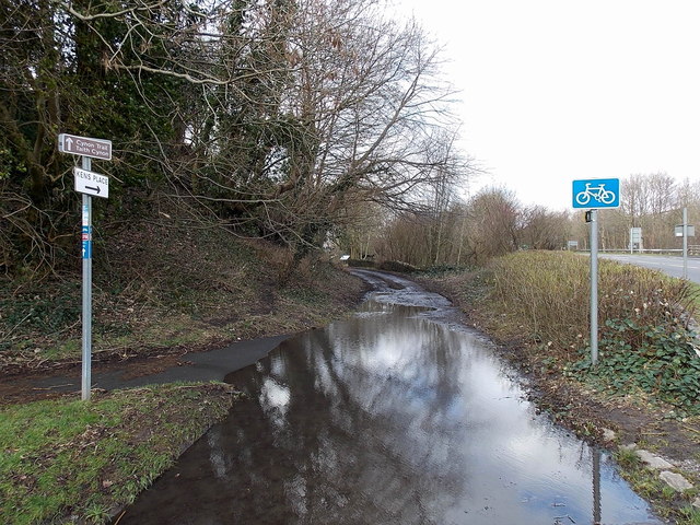
Image: © Jaggery Taken: 4 Feb 2014
There was little evidence in Aberdare today (early February 2014) of the flooding that has plagued many places in southern Britain during the very wet winter of 2013-2014. This location, near the eastern end of Meirion Street, was a rare exception. One sign points along the Cynon Trail, part of National Cycle Network Route 478. Another sign points towards Ken's Place.
Images are licensed for reuse under creativecommons.org/licenses/by-sa/2.0
Image Location
Latitude
51.722127
Longitude
-3.453009