College Road Lock Location
Introduction
The photograph on this page of College Road Lock Location by Guy Butler-Madden as part of the Geograph project.
The Geograph project started in 2005 with the aim of publishing, organising and preserving representative images for every square kilometre of Great Britain, Ireland and the Isle of Man.

There are currently over 7.5m images from over 14,400 individuals and you can help contribute to the project by visiting https://www.geograph.org.uk
College Road Lock Location
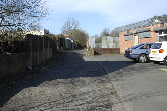
Image: © Guy Butler-Madden Taken: 25 Feb 2006
The lane is the old the towpath of the Glamorganshire Canal and the rise in it marks the location of College Road Lock.
Images are licensed for reuse under creativecommons.org/licenses/by-sa/2.0
Image Location
Latitude
51.502267
Longitude
-3.225277