Housing Development
Introduction
The photograph on this page of Housing Development by terry joyce as part of the Geograph project.
The Geograph project started in 2005 with the aim of publishing, organising and preserving representative images for every square kilometre of Great Britain, Ireland and the Isle of Man.

There are currently over 7.5m images from over 14,400 individuals and you can help contribute to the project by visiting https://www.geograph.org.uk
Housing Development
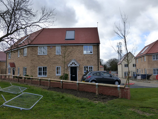
Image: © terry joyce Taken: 9 Feb 2014
These houses are part of a development on the site that was the Mount Carmel Messianic Centre. Image
Images are licensed for reuse under creativecommons.org/licenses/by-sa/2.0
Image Location
Latitude
51.597793
Longitude
0.590115