Goat Quarry
Introduction
The photograph on this page of Goat Quarry by William Starkey as part of the Geograph project.
The Geograph project started in 2005 with the aim of publishing, organising and preserving representative images for every square kilometre of Great Britain, Ireland and the Isle of Man.

There are currently over 7.5m images from over 14,400 individuals and you can help contribute to the project by visiting https://www.geograph.org.uk
Goat Quarry
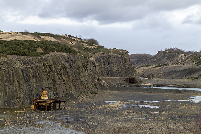
Image: © William Starkey Taken: 9 Feb 2014
The disused Goat Quarry near Crossgates - this closely follows the quartz-dolerite intrusion of the Midland Valley Sill complex, which trends NE-SW, underlying the Cullaloe Hills. The quarry is extensive, and is more than one kilometre in length. See Geology of Britain Viewer: http://www.bgs.ac.uk/discoveringGeology/geologyOfBritain/viewer.html
Images are licensed for reuse under creativecommons.org/licenses/by-sa/2.0
Image Location
Latitude
56.067072
Longitude
-3.326681