Snuff Mill Lane (east)
Introduction
The photograph on this page of Snuff Mill Lane (east) by George Robinson as part of the Geograph project.
The Geograph project started in 2005 with the aim of publishing, organising and preserving representative images for every square kilometre of Great Britain, Ireland and the Isle of Man.

There are currently over 7.5m images from over 14,400 individuals and you can help contribute to the project by visiting https://www.geograph.org.uk
Snuff Mill Lane (east)
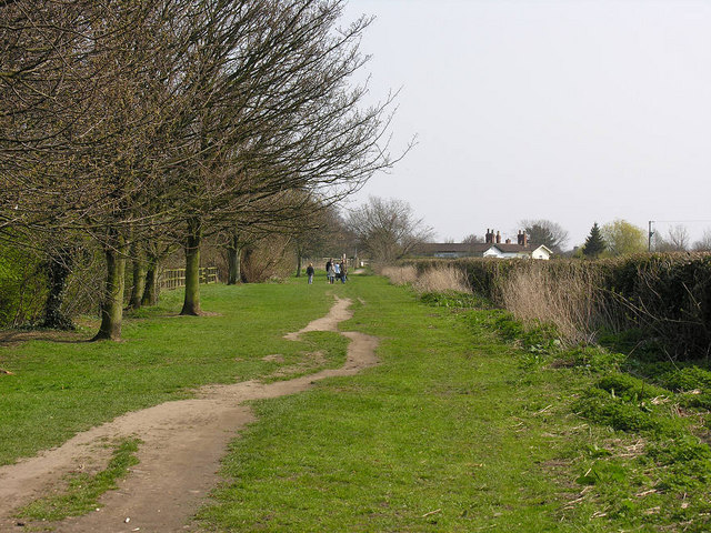
Image: © George Robinson Taken: 1 Apr 2007
South of the housing, Snuff Mill Lane turns south eastwards and provides a broad green pathway down to the Hull-Beverley railway line which it meets at an uncontrolled crossing before continuing as a part-surfaced track through to the northern end of Bricknell Avenue. It is a much-used pedestrian route and bridleway as well as an amenity and dog-walking area.
Images are licensed for reuse under creativecommons.org/licenses/by-sa/2.0
Image Location
Latitude
53.774787
Longitude
-0.404266