Almshouses, Mitcheldean
Introduction
The photograph on this page of Almshouses, Mitcheldean by Jaggery as part of the Geograph project.
The Geograph project started in 2005 with the aim of publishing, organising and preserving representative images for every square kilometre of Great Britain, Ireland and the Isle of Man.

There are currently over 7.5m images from over 14,400 individuals and you can help contribute to the project by visiting https://www.geograph.org.uk
Almshouses, Mitcheldean
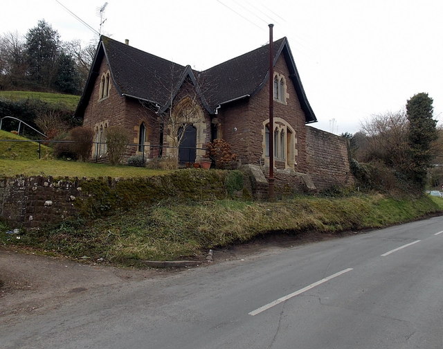
Image: © Jaggery Taken: 24 Feb 2013
The semi-detached stone houses are set above the roadway near the point where Stenders Road is renamed The Stenders. Built as almshouses in 1857.
Images are licensed for reuse under creativecommons.org/licenses/by-sa/2.0
Image Location


Leaflet Map data © OpenStreetMap
Latitude
51.863684
Longitude
-2.493558