Auchinroath
Introduction
The photograph on this page of Auchinroath by Anne Burgess as part of the Geograph project.
The Geograph project started in 2005 with the aim of publishing, organising and preserving representative images for every square kilometre of Great Britain, Ireland and the Isle of Man.

There are currently over 7.5m images from over 14,400 individuals and you can help contribute to the project by visiting https://www.geograph.org.uk
Auchinroath
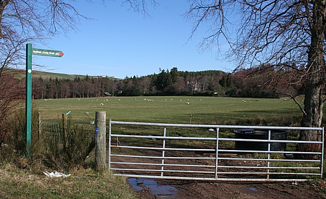
Image: © Anne Burgess Taken: 1 Apr 2007
In the woods at the far side of the field there is a glimpse of Auchinroath House. On the skyline at left is Barluack. The signpost indicates the Rothes Cycle Route, which goes through the forests above here.
Images are licensed for reuse under creativecommons.org/licenses/by-sa/2.0
Image Location
Latitude
57.545609
Longitude
-3.22359