Farm outbuildings, Vicarage Farm
Introduction
The photograph on this page of Farm outbuildings, Vicarage Farm by Stefan Czapski as part of the Geograph project.
The Geograph project started in 2005 with the aim of publishing, organising and preserving representative images for every square kilometre of Great Britain, Ireland and the Isle of Man.

There are currently over 7.5m images from over 14,400 individuals and you can help contribute to the project by visiting https://www.geograph.org.uk
Farm outbuildings, Vicarage Farm
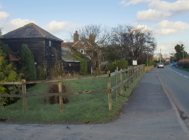
Image: © Stefan Czapski Taken: 7 Feb 2014
A number of old weather-boarded buildings have survived around what was once the farmyard. Present use is as livery stables and riding school.
Images are licensed for reuse under creativecommons.org/licenses/by-sa/2.0
Image Location
Latitude
51.401746
Longitude
-0.421647