Sandcross Lane
Introduction
The photograph on this page of Sandcross Lane by Ian Capper as part of the Geograph project.
The Geograph project started in 2005 with the aim of publishing, organising and preserving representative images for every square kilometre of Great Britain, Ireland and the Isle of Man.

There are currently over 7.5m images from over 14,400 individuals and you can help contribute to the project by visiting https://www.geograph.org.uk
Sandcross Lane
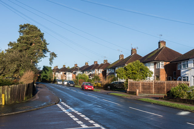
Image: © Ian Capper Taken: 1 Feb 2014
Formerly a country lane marked on early 19th century maps, development of this area, including this road, started in the 1930s.
Images are licensed for reuse under creativecommons.org/licenses/by-sa/2.0
Image Location
Latitude
51.220776
Longitude
-0.204263