Floodwater beside the River Test
Introduction
The photograph on this page of Floodwater beside the River Test by David Martin as part of the Geograph project.
The Geograph project started in 2005 with the aim of publishing, organising and preserving representative images for every square kilometre of Great Britain, Ireland and the Isle of Man.

There are currently over 7.5m images from over 14,400 individuals and you can help contribute to the project by visiting https://www.geograph.org.uk
Floodwater beside the River Test
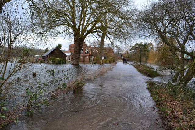
Image: © David Martin Taken: 8 Feb 2014
In this remarkable scene, water is pouring across the lane from the flooded meadows to the left and re-entering the main channel of the River Test, which has just come down through the sluices at Sadlers Mill. The summer scene Image shows the lane and mill building from somewhere adjacent to the first house in this image and Image shows new flood defences, completed in 2022.
Images are licensed for reuse under creativecommons.org/licenses/by-sa/2.0
Image Location


Leaflet Map data © OpenStreetMap
Latitude
50.985647
Longitude
-1.505456