Near Ballyclare
Introduction
The photograph on this page of Near Ballyclare by Robert Ashby as part of the Geograph project.
The Geograph project started in 2005 with the aim of publishing, organising and preserving representative images for every square kilometre of Great Britain, Ireland and the Isle of Man.

There are currently over 7.5m images from over 14,400 individuals and you can help contribute to the project by visiting https://www.geograph.org.uk
Near Ballyclare
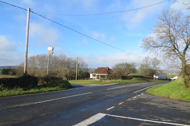
Image: © Robert Ashby Taken: 6 Feb 2014
Crossroads where the BallylinneyRoad/Lower Sizehill Road crosses the Road looking towards the Templepatrick Road just round the bend.
Images are licensed for reuse under creativecommons.org/licenses/by-sa/2.0
Image Location
Latitude
54.734864
Longitude
-6.014983