Depth gauge, the Blackstaff River, Belfast
Introduction
The photograph on this page of Depth gauge, the Blackstaff River, Belfast by Albert Bridge as part of the Geograph project.
The Geograph project started in 2005 with the aim of publishing, organising and preserving representative images for every square kilometre of Great Britain, Ireland and the Isle of Man.

There are currently over 7.5m images from over 14,400 individuals and you can help contribute to the project by visiting https://www.geograph.org.uk
Depth gauge, the Blackstaff River, Belfast
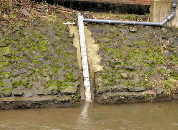
Image: © Albert Bridge Taken: 8 Feb 2014
A depth gauge, at Glenmachan Place, close to here Image The river is higher and muddier than usual after the prolonged rain during January and February.
Images are licensed for reuse under creativecommons.org/licenses/by-sa/2.0
Image Location
Latitude
54.586514
Longitude
-5.960325