Flooded field, Higham
Introduction
The photograph on this page of Flooded field, Higham by Robin Webster as part of the Geograph project.
The Geograph project started in 2005 with the aim of publishing, organising and preserving representative images for every square kilometre of Great Britain, Ireland and the Isle of Man.

There are currently over 7.5m images from over 14,400 individuals and you can help contribute to the project by visiting https://www.geograph.org.uk
Flooded field, Higham
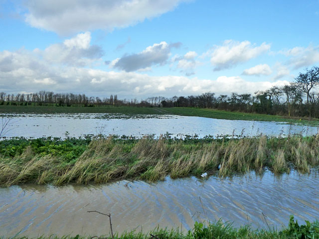
Image: © Robin Webster Taken: 7 Feb 2014
Just north of Lower Road and fortunately a bit lower than the road.
Images are licensed for reuse under creativecommons.org/licenses/by-sa/2.0
Image Location
Latitude
51.429792
Longitude
0.456582