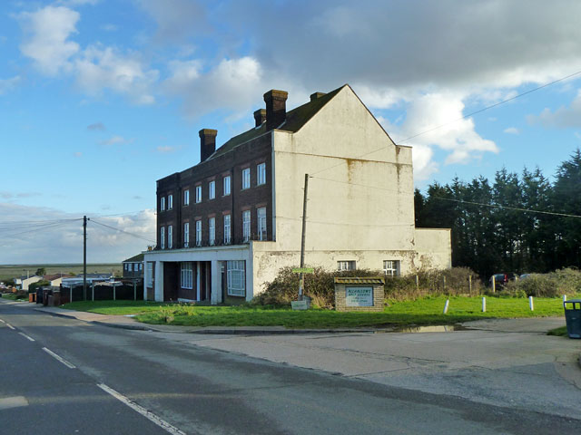
Flats, Allhallows-on-Sea
Introduction
The photograph on this page of Flats, Allhallows-on-Sea by Robin Webster as part of the Geograph project.
The Geograph project started in 2005 with the aim of publishing, organising and preserving representative images for every square kilometre of Great Britain, Ireland and the Isle of Man.
There are currently over 7.5m images from over 14,400 individuals and you can help contribute to the project by visiting https://www.geograph.org.uk

Image: © Robin Webster Taken: 7 Feb 2014
These appear to be the only substantial sign, apart from the large British Pilot pub, of the pre-war plans for a major holiday resort here. The branch railway to serve this was opened in 1932 and terminated just behind this block. It closed in 1961. The resort never developed in the way planned and has now turned itself into extensive mobile home parks, with not a great deal of conventional housing.

