Looking east-southeast towards the Out Downs housing development
Introduction
The photograph on this page of Looking east-southeast towards the Out Downs housing development by John Baker as part of the Geograph project.
The Geograph project started in 2005 with the aim of publishing, organising and preserving representative images for every square kilometre of Great Britain, Ireland and the Isle of Man.

There are currently over 7.5m images from over 14,400 individuals and you can help contribute to the project by visiting https://www.geograph.org.uk
Looking east-southeast towards the Out Downs housing development
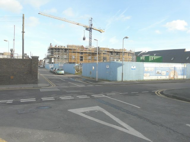
Image: © John Baker Taken: 27 Jan 2014
This is in the process of being built. My previous view Image, taken two months earlier, hardly shows the housing block.
Images are licensed for reuse under creativecommons.org/licenses/by-sa/2.0
Image Location
Latitude
51.230463
Longitude
1.399193