View of Raphael House from Ley Street
Introduction
The photograph on this page of View of Raphael House from Ley Street by Robert Lamb as part of the Geograph project.
The Geograph project started in 2005 with the aim of publishing, organising and preserving representative images for every square kilometre of Great Britain, Ireland and the Isle of Man.

There are currently over 7.5m images from over 14,400 individuals and you can help contribute to the project by visiting https://www.geograph.org.uk
View of Raphael House from Ley Street
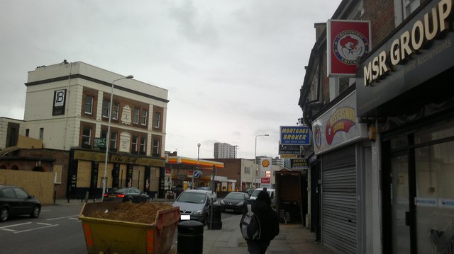
Image: © Robert Lamb Taken: 6 Feb 2014
Looking south-southwest. On the left is the Bell pub, yet another pub gone at the mercy of the economic climate and 2007 smoking ban.
Images are licensed for reuse under creativecommons.org/licenses/by-sa/2.0
Image Location
Latitude
51.56331
Longitude
0.081701