Former King's Head, Norton
Introduction
The photograph on this page of Former King's Head, Norton by Philip Halling as part of the Geograph project.
The Geograph project started in 2005 with the aim of publishing, organising and preserving representative images for every square kilometre of Great Britain, Ireland and the Isle of Man.

There are currently over 7.5m images from over 14,400 individuals and you can help contribute to the project by visiting https://www.geograph.org.uk
Former King's Head, Norton
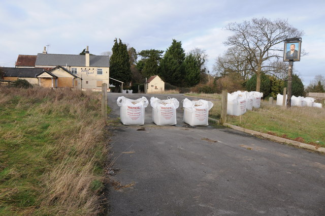
Image: © Philip Halling Taken: 2 Feb 2014
Sad to see yet another closed and boarded up public house, this one, the King's Head, is beside the A38 at Norton to the north of Gloucester.
Images are licensed for reuse under creativecommons.org/licenses/by-sa/2.0
Image Location
Latitude
51.915784
Longitude
-2.208004