Carmel chapel, Penrhiwceiber
Introduction
The photograph on this page of Carmel chapel, Penrhiwceiber by Jaggery as part of the Geograph project.
The Geograph project started in 2005 with the aim of publishing, organising and preserving representative images for every square kilometre of Great Britain, Ireland and the Isle of Man.

There are currently over 7.5m images from over 14,400 individuals and you can help contribute to the project by visiting https://www.geograph.org.uk
Carmel chapel, Penrhiwceiber
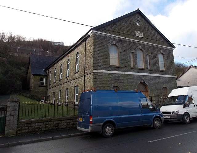
Image: © Jaggery Taken: 4 Feb 2014
There was no name sign outside this well-maintained building on the south side of Penrhiwceiber Road in early February 2014, so it was unclear whether or not it has been converted to residential use. The year stone shows 1880.
Images are licensed for reuse under creativecommons.org/licenses/by-sa/2.0
Image Location
Latitude
51.67104
Longitude
-3.364171