Brightside Sough tail
Introduction
The photograph on this page of Brightside Sough tail by Richard Bird as part of the Geograph project.
The Geograph project started in 2005 with the aim of publishing, organising and preserving representative images for every square kilometre of Great Britain, Ireland and the Isle of Man.

There are currently over 7.5m images from over 14,400 individuals and you can help contribute to the project by visiting https://www.geograph.org.uk
Brightside Sough tail
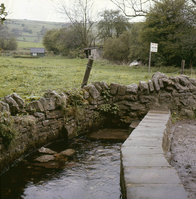
Image: © Richard Bird Taken: 22 Mar 1972
Close beside the road in Calver is the tail or outfall of Brightside Sough, a drainage tunnel which was driven to help unwater the lead mines to the south west. It is almost now completely silted up but a strong flow of water still emerges from beneath a keystone in the trough-like structure on the road side. A popular place for washing cars nowadays!
Images are licensed for reuse under creativecommons.org/licenses/by-sa/2.0
Image Location


Leaflet Map data © OpenStreetMap
Latitude
53.266584
Longitude
-1.637731