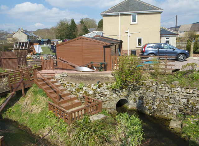
Calver Sough tail
Introduction
The photograph on this page of Calver Sough tail by Richard Bird as part of the Geograph project.
The Geograph project started in 2005 with the aim of publishing, organising and preserving representative images for every square kilometre of Great Britain, Ireland and the Isle of Man.
There are currently over 7.5m images from over 14,400 individuals and you can help contribute to the project by visiting https://www.geograph.org.uk

Image: © Richard Bird Taken: 20 Apr 2013
Calver Sough is a mine drainage level from which the village is named. It once issued from an arched entrance in a private house garden but, following improvements to the property, it now empties from a concrete pipe. The sough takes a semi circular course to the east, to end up at the former Wren Park Mine to the north of the village. Calver (or Calver Mill) Sough was begun in 1756 and an early Newcomen engine was installed in a shaft behind the present Eyre Arms. Much later, the sough was utilised as a pumpway for a 70" Cornish engine, which was situated on a shaft where the present bungalows now stand near the cross roads.
Image Location


