Entering Warenton
Introduction
The photograph on this page of Entering Warenton by Graham Robson as part of the Geograph project.
The Geograph project started in 2005 with the aim of publishing, organising and preserving representative images for every square kilometre of Great Britain, Ireland and the Isle of Man.

There are currently over 7.5m images from over 14,400 individuals and you can help contribute to the project by visiting https://www.geograph.org.uk
Entering Warenton
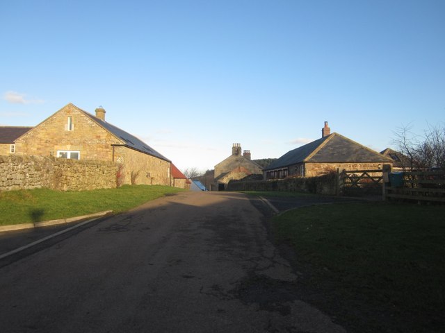
Image: © Graham Robson Taken: 4 Feb 2014
Entering Warenton from the west. The farm buildings have been converted to residential use, turning a working farm on the roadside into a small residential hamlet.
Images are licensed for reuse under creativecommons.org/licenses/by-sa/2.0
Image Location
Latitude
55.567071
Longitude
-1.833954