Rossdale Road, Bangor
Introduction
The photograph on this page of Rossdale Road, Bangor by Rossographer as part of the Geograph project.
The Geograph project started in 2005 with the aim of publishing, organising and preserving representative images for every square kilometre of Great Britain, Ireland and the Isle of Man.

There are currently over 7.5m images from over 14,400 individuals and you can help contribute to the project by visiting https://www.geograph.org.uk
Rossdale Road, Bangor
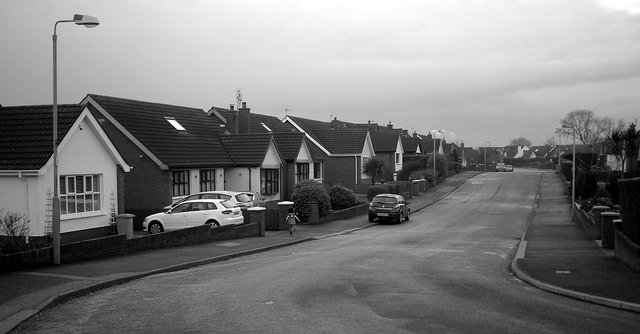
Image: © Rossographer Taken: 19 Jan 2014
Residential street running from Dixon Road to Ballymacormick Road in north-eastern Bangor. Developed from the late 1960s during the expansion of Bangor it was, like many roads in the area, initially only partially developed. The first dwellings were constructed around c1969 at the northern end of the road and this section remained undeveloped until further houses were built around c1983.
Images are licensed for reuse under creativecommons.org/licenses/by-sa/2.0
Image Location
Latitude
54.663851
Longitude
-5.623966