The Saxon Shore Way crossing a field near Stone-in-Oxney
Introduction
The photograph on this page of The Saxon Shore Way crossing a field near Stone-in-Oxney by Marathon as part of the Geograph project.
The Geograph project started in 2005 with the aim of publishing, organising and preserving representative images for every square kilometre of Great Britain, Ireland and the Isle of Man.

There are currently over 7.5m images from over 14,400 individuals and you can help contribute to the project by visiting https://www.geograph.org.uk
The Saxon Shore Way crossing a field near Stone-in-Oxney
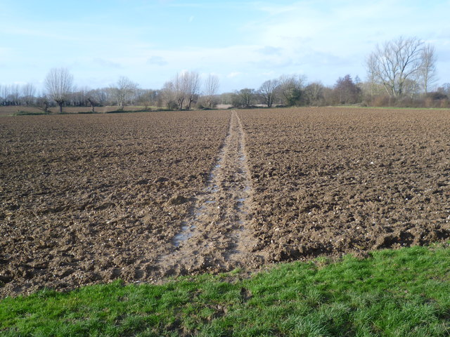
Image: © Marathon Taken: 2 Feb 2014
The Saxon Shore Way follows Kent's ancient coastline, which in many places is now miles inland. The Saxon Shore Way is named after the line of historic fortifications that defended the Kent coast at the end of the Roman era. It is 160 miles long and runs from Gravesend to Hastings. After weeks of rain all the local footpaths were very muddy so although the Saxon Shore Way went across the middle of this field, it seemed sensible to follow the grass edge on the right - see http://www.geograph.org.uk/photo/3837774
Images are licensed for reuse under creativecommons.org/licenses/by-sa/2.0
Image Location


Leaflet Map data © OpenStreetMap
Latitude
51.017614
Longitude
0.762406