Path to the SE corner of Duffryn High School, Newport
Introduction
The photograph on this page of Path to the SE corner of Duffryn High School, Newport by Jaggery as part of the Geograph project.
The Geograph project started in 2005 with the aim of publishing, organising and preserving representative images for every square kilometre of Great Britain, Ireland and the Isle of Man.

There are currently over 7.5m images from over 14,400 individuals and you can help contribute to the project by visiting https://www.geograph.org.uk
Path to the SE corner of Duffryn High School, Newport
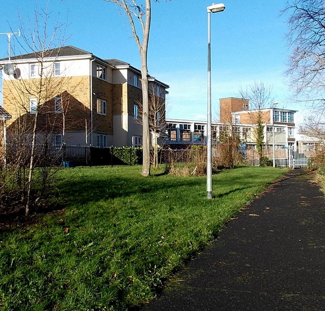
Image: © Jaggery Taken: 25 Dec 2013
The building on the left is Port Royal House, Schooner Walk.
Images are licensed for reuse under creativecommons.org/licenses/by-sa/2.0
Image Location
Latitude
51.557367
Longitude
-3.010384