Stream below Ffordd Pentre Bach
Introduction
The photograph on this page of Stream below Ffordd Pentre Bach by John S Turner as part of the Geograph project.
The Geograph project started in 2005 with the aim of publishing, organising and preserving representative images for every square kilometre of Great Britain, Ireland and the Isle of Man.

There are currently over 7.5m images from over 14,400 individuals and you can help contribute to the project by visiting https://www.geograph.org.uk
Stream below Ffordd Pentre Bach
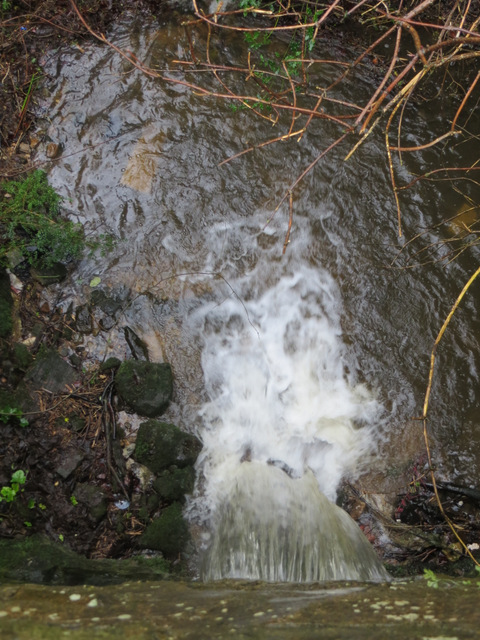
Image: © John S Turner Taken: 5 Feb 2014
After a period of heavy rain, the stream, and small waterfall below Ffordd Pentre Bach is in full flow. Compare with: Image
Images are licensed for reuse under creativecommons.org/licenses/by-sa/2.0
Image Location
Latitude
53.147176
Longitude
-3.156612