Church Hill, Stone-in-Oxney
Introduction
The photograph on this page of Church Hill, Stone-in-Oxney by Marathon as part of the Geograph project.
The Geograph project started in 2005 with the aim of publishing, organising and preserving representative images for every square kilometre of Great Britain, Ireland and the Isle of Man.

There are currently over 7.5m images from over 14,400 individuals and you can help contribute to the project by visiting https://www.geograph.org.uk
Church Hill, Stone-in-Oxney
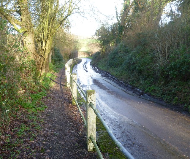
Image: © Marathon Taken: 2 Feb 2014
Stone-in-Oxney was for centuries a real island, surrounded by the sea. St Mary's Church dates from the 15th century as it was rebuilt after a fire in 1464. It was thoroughly restored in 1874. This is the view of Church Hill, just below the church. It is followed here by the Saxon Shore Way. Church Hill seems a fairly quiet road so perhaps the raised footway is more because the road can be wet than because of traffic.
Images are licensed for reuse under creativecommons.org/licenses/by-sa/2.0
Image Location


Leaflet Map data © OpenStreetMap
Latitude
51.013581
Longitude
0.765588