Abbey Bridge
Introduction
The photograph on this page of Abbey Bridge by Alan Murray-Rust as part of the Geograph project.
The Geograph project started in 2005 with the aim of publishing, organising and preserving representative images for every square kilometre of Great Britain, Ireland and the Isle of Man.

There are currently over 7.5m images from over 14,400 individuals and you can help contribute to the project by visiting https://www.geograph.org.uk
Abbey Bridge
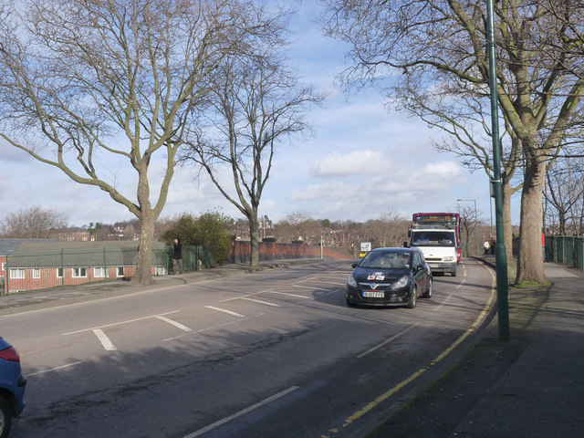
Image: © Alan Murray-Rust Taken: 2 Feb 2014
This was a new route created in the 1930s to bypass the very constricted old route via Sherwin Road http://www.geograph.org.uk/photo/3837178. There is a bench mark http://www.geograph.org.uk/photo/3837170 on this end of the left hand parapet.
Images are licensed for reuse under creativecommons.org/licenses/by-sa/2.0
Image Location
Latitude
52.945959
Longitude
-1.173266