Navigation Terrace, Miskin
Introduction
The photograph on this page of Navigation Terrace, Miskin by Jaggery as part of the Geograph project.
The Geograph project started in 2005 with the aim of publishing, organising and preserving representative images for every square kilometre of Great Britain, Ireland and the Isle of Man.

There are currently over 7.5m images from over 14,400 individuals and you can help contribute to the project by visiting https://www.geograph.org.uk
Navigation Terrace, Miskin
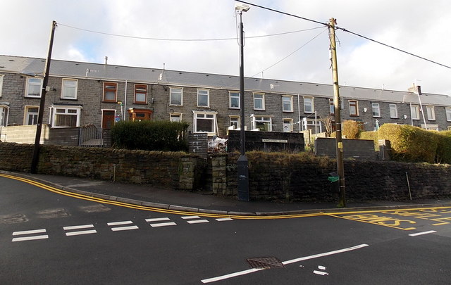
Image: © Jaggery Taken: 4 Feb 2014
Navigation Terrace is a 55 metre long row of houses on the west side of Penrhiwceiber Road, from Bush Road on the left to Mount Pleasant Terrace.
Images are licensed for reuse under creativecommons.org/licenses/by-sa/2.0
Image Location
Latitude
51.67571
Longitude
-3.37241