Gay Meadow, Shrewsbury
Introduction
The photograph on this page of Gay Meadow, Shrewsbury by Peter Evans as part of the Geograph project.
The Geograph project started in 2005 with the aim of publishing, organising and preserving representative images for every square kilometre of Great Britain, Ireland and the Isle of Man.

There are currently over 7.5m images from over 14,400 individuals and you can help contribute to the project by visiting https://www.geograph.org.uk
Gay Meadow, Shrewsbury
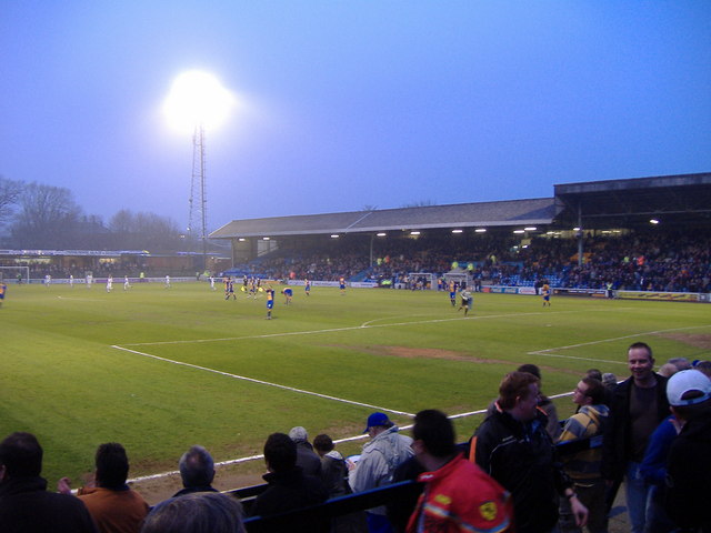
Image: © Peter Evans Taken: 27 Mar 2007
Final season at Gay Meadow, historic riverside football ground. View from Wakeman End. Shrewsbury Town 3, Rochdale 0.
Images are licensed for reuse under creativecommons.org/licenses/by-sa/2.0
Image Location


Leaflet Map data © OpenStreetMap
Latitude
52.706898
Longitude
-2.748861