Bont & Lane Side, Holly Grove
Introduction
The photograph on this page of Bont & Lane Side, Holly Grove by Dave Dunford as part of the Geograph project.
The Geograph project started in 2005 with the aim of publishing, organising and preserving representative images for every square kilometre of Great Britain, Ireland and the Isle of Man.

There are currently over 7.5m images from over 14,400 individuals and you can help contribute to the project by visiting https://www.geograph.org.uk
Bont & Lane Side, Holly Grove
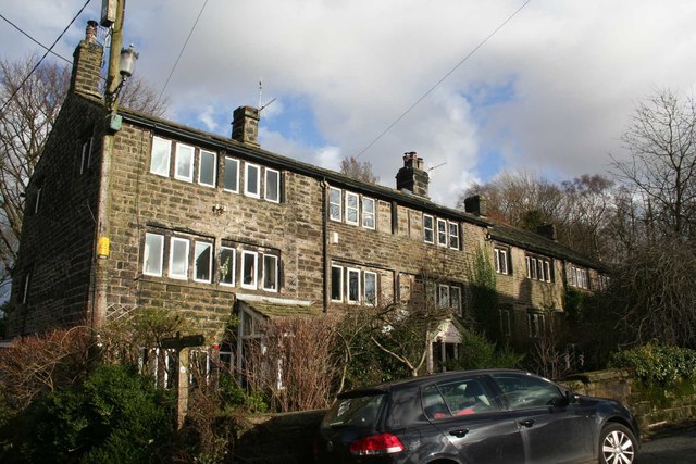
Image: © Dave Dunford Taken: 2 Feb 2014
Grade II listed weavers' cottages near Diggle. The Pennine Bridleway passes to the left of the nearest house.
Images are licensed for reuse under creativecommons.org/licenses/by-sa/2.0
Image Location
Latitude
53.557283
Longitude
-1.997396