The Gatehouse
Introduction
The photograph on this page of The Gatehouse by Alan Rolfe as part of the Geograph project.
The Geograph project started in 2005 with the aim of publishing, organising and preserving representative images for every square kilometre of Great Britain, Ireland and the Isle of Man.

There are currently over 7.5m images from over 14,400 individuals and you can help contribute to the project by visiting https://www.geograph.org.uk
The Gatehouse
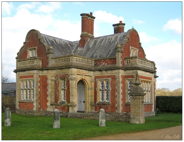
Image: © Alan Rolfe Taken: 27 Jan 2007
One of a pair of gatehouses on either side of the drive to Lockerley Park. This is the northern gatehouse.
Images are licensed for reuse under creativecommons.org/licenses/by-sa/2.0
Image Location


Leaflet Map data © OpenStreetMap
Latitude
51.045105
Longitude
-1.579285