Harbour Road, Barry Island
Introduction
The photograph on this page of Harbour Road, Barry Island by Jaggery as part of the Geograph project.
The Geograph project started in 2005 with the aim of publishing, organising and preserving representative images for every square kilometre of Great Britain, Ireland and the Isle of Man.

There are currently over 7.5m images from over 14,400 individuals and you can help contribute to the project by visiting https://www.geograph.org.uk
Harbour Road, Barry Island
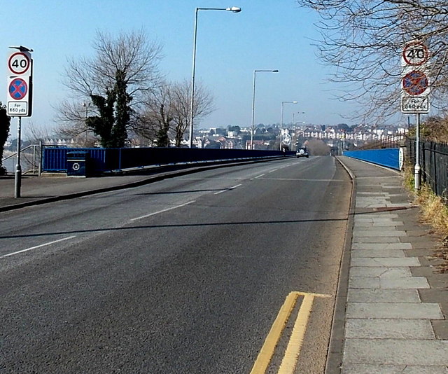
Image: © Jaggery Taken: 5 Mar 2013
Looking WNW from Barry Island along a bridge lined with blue railings. A clearway (no stopping zone) applies for 660 yards ahead.
Images are licensed for reuse under creativecommons.org/licenses/by-sa/2.0
Image Location
Latitude
51.392977
Longitude
-3.279272