Demolition site, Hull
Introduction
The photograph on this page of Demolition site, Hull by Paul Harrop as part of the Geograph project.
The Geograph project started in 2005 with the aim of publishing, organising and preserving representative images for every square kilometre of Great Britain, Ireland and the Isle of Man.

There are currently over 7.5m images from over 14,400 individuals and you can help contribute to the project by visiting https://www.geograph.org.uk
Demolition site, Hull
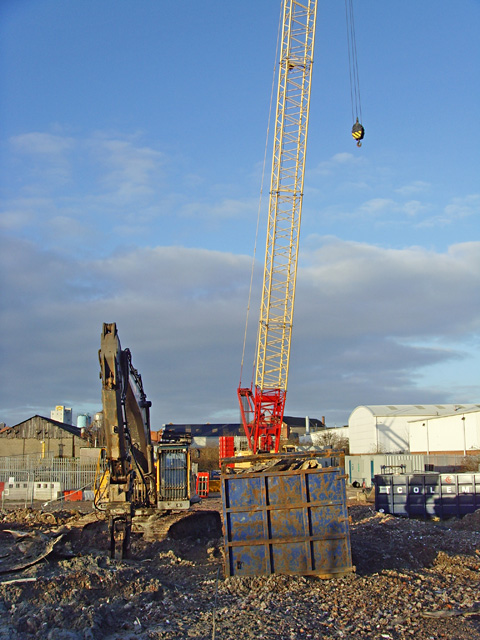
Image: © Paul Harrop Taken: 2 Feb 2014
On, or close to, the former gasworks site on St Mark Street, where until 2013 stood a prominent gasholder (see Image for an earlier view of the structure).
Images are licensed for reuse under creativecommons.org/licenses/by-sa/2.0
Image Location
Latitude
53.752485
Longitude
-0.324573