Farmland north of Lower Strensham
Introduction
The photograph on this page of Farmland north of Lower Strensham by David Purchase as part of the Geograph project.
The Geograph project started in 2005 with the aim of publishing, organising and preserving representative images for every square kilometre of Great Britain, Ireland and the Isle of Man.

There are currently over 7.5m images from over 14,400 individuals and you can help contribute to the project by visiting https://www.geograph.org.uk
Farmland north of Lower Strensham
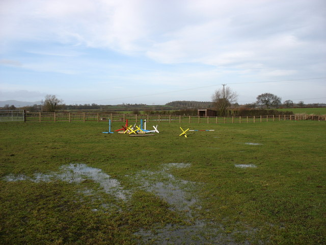
Image: © David Purchase Taken: 2 Feb 2014
I doubt that there is much equestrian activity here after the heavy rains for the last few weeks.
Images are licensed for reuse under creativecommons.org/licenses/by-sa/2.0
Image Location


Leaflet Map data © OpenStreetMap
Latitude
52.065486
Longitude
-2.14364