Sea front at Shoeburyness
Introduction
The photograph on this page of Sea front at Shoeburyness by Trevor Harris as part of the Geograph project.
The Geograph project started in 2005 with the aim of publishing, organising and preserving representative images for every square kilometre of Great Britain, Ireland and the Isle of Man.

There are currently over 7.5m images from over 14,400 individuals and you can help contribute to the project by visiting https://www.geograph.org.uk
Sea front at Shoeburyness
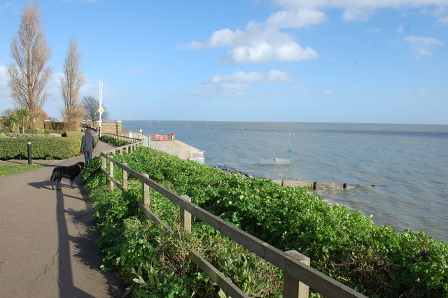
Image: © Trevor Harris Taken: 2 Feb 2014
Previously this was part of the MoD garrison land and not open to the public.
Images are licensed for reuse under creativecommons.org/licenses/by-sa/2.0
Image Location
Latitude
51.52776
Longitude
0.796503