Brick cottage
Introduction
The photograph on this page of Brick cottage by John M as part of the Geograph project.
The Geograph project started in 2005 with the aim of publishing, organising and preserving representative images for every square kilometre of Great Britain, Ireland and the Isle of Man.

There are currently over 7.5m images from over 14,400 individuals and you can help contribute to the project by visiting https://www.geograph.org.uk
Brick cottage
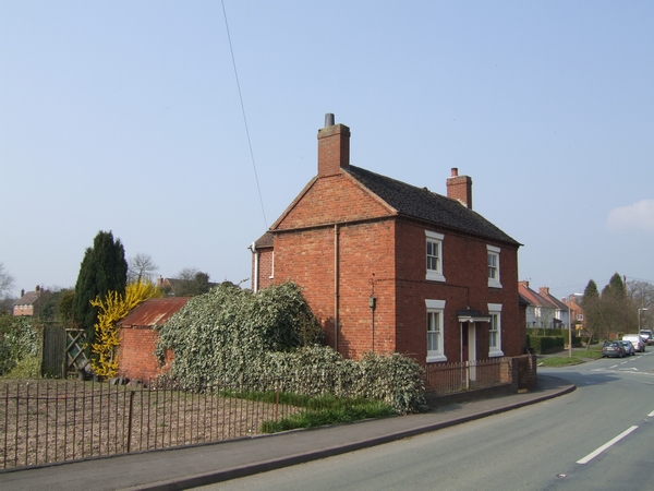
Image: © John M Taken: 1 Apr 2007
Typical brick built cottage on the road out of Wheaton Aston village is now surrounded by more recent housing.
Images are licensed for reuse under creativecommons.org/licenses/by-sa/2.0
Image Location
Latitude
52.71022
Longitude
-2.224792