The Former Farmyard of Gamnel Farm, Tring
Introduction
The photograph on this page of The Former Farmyard of Gamnel Farm, Tring by Chris Reynolds as part of the Geograph project.
The Geograph project started in 2005 with the aim of publishing, organising and preserving representative images for every square kilometre of Great Britain, Ireland and the Isle of Man.

There are currently over 7.5m images from over 14,400 individuals and you can help contribute to the project by visiting https://www.geograph.org.uk
The Former Farmyard of Gamnel Farm, Tring
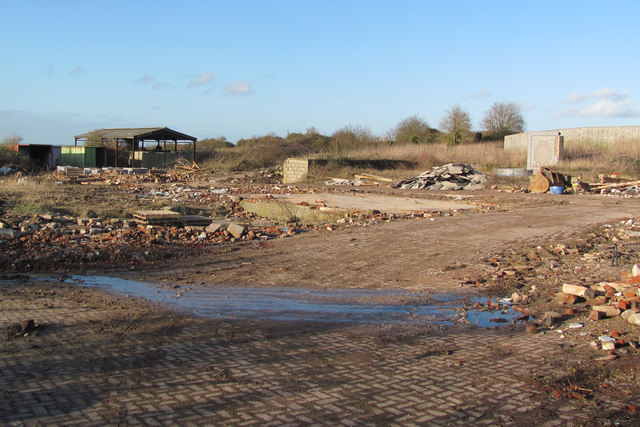
Image: © Chris Reynolds Taken: 2 Feb 2014
The site of the old farmyard has been levelled prior to two new houses being built on the site. The flat rectangular area is the floor of an old farm building, which can be seen through the gate in Image The bricks in the right foreground come from the demolished farmhouse see Image Note the mosaic wall in the right distance Image
Images are licensed for reuse under creativecommons.org/licenses/by-sa/2.0
Image Location
Latitude
51.808858
Longitude
-0.656526