A650: Junction of Hard Ings Road and Royd Way, Keighley, West Yorkshire
Introduction
The photograph on this page of A650: Junction of Hard Ings Road and Royd Way, Keighley, West Yorkshire by Pete Chapman as part of the Geograph project.
The Geograph project started in 2005 with the aim of publishing, organising and preserving representative images for every square kilometre of Great Britain, Ireland and the Isle of Man.

There are currently over 7.5m images from over 14,400 individuals and you can help contribute to the project by visiting https://www.geograph.org.uk
A650: Junction of Hard Ings Road and Royd Way, Keighley, West Yorkshire
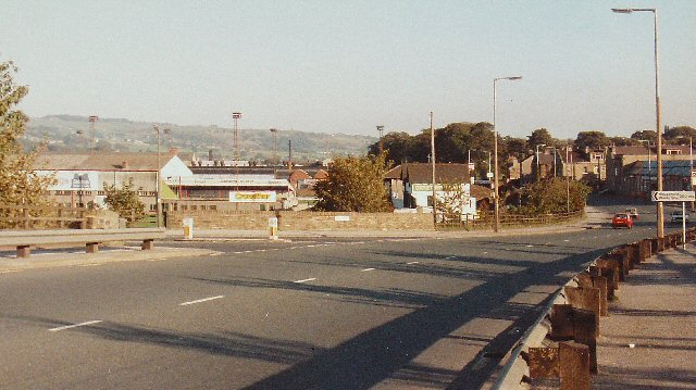
Image: © Pete Chapman Taken: 6 Oct 1985
A quiet time near the junction of side road and an urban single carriageway A road bypassing the town centre of Keighley. In the background can be seen the floodlights of the rugby ground (home of Keighley Cougars).
Images are licensed for reuse under creativecommons.org/licenses/by-sa/2.0
Image Location


Leaflet Map data © OpenStreetMap
Latitude
53.875065
Longitude
-1.905663