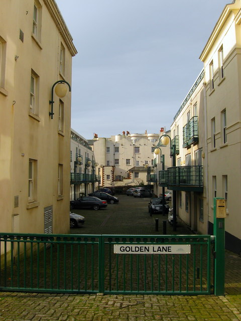
Golden Lane
Introduction
The photograph on this page of Golden Lane by Simon Carey as part of the Geograph project.
The Geograph project started in 2005 with the aim of publishing, organising and preserving representative images for every square kilometre of Great Britain, Ireland and the Isle of Man.
There are currently over 7.5m images from over 14,400 individuals and you can help contribute to the project by visiting https://www.geograph.org.uk

Image: © Simon Carey Taken: 25 Jan 2014
A fairly recent development that straddles the old Brighton and Hove boundary that had been derelict for a number of years. A number of narrow terraces existed here until they were cleared in the 1930s and the site given over to the neighbouring Anchor Brewery which survived until the early 1950s with the buildings removed sometime in the 1960s. From that point a number of planning applications were made but none succeeded until the current one was agreed during the 1990s. Golden Lane itself was the original name of a small alley that led from Western Street to the Hove boundary which contained a pub and a smithy.

