Southern half of Lenton Lane, Lenton
Introduction
The photograph on this page of Southern half of Lenton Lane, Lenton by Richard Vince as part of the Geograph project.
The Geograph project started in 2005 with the aim of publishing, organising and preserving representative images for every square kilometre of Great Britain, Ireland and the Isle of Man.

There are currently over 7.5m images from over 14,400 individuals and you can help contribute to the project by visiting https://www.geograph.org.uk
Southern half of Lenton Lane, Lenton
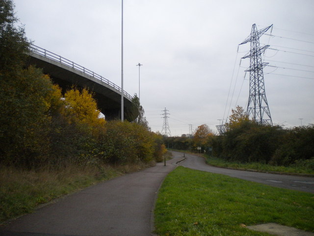
Image: © Richard Vince Taken: 16 Nov 2013
In contrast with the northern half of Lenton Lane (the other side of Clifton Boulevard), which is lined with business premises of various sorts, this section of Lenton Lane is narrow and meanders gently down to meet the Trent. It provides access to various sports facilities, the river bank, and a Michelin starred restaurant. On the left, the flyover that provides direct access from Clifton Bridge to Queens Drive betrays the urban surroundings.
Images are licensed for reuse under creativecommons.org/licenses/by-sa/2.0
Image Location
Latitude
52.928317
Longitude
-1.170032